The Petersburg Project
  • Home
    • About Us
  • Blog and Updates
  • Petersburg Panorama 1865
  • Steeples of Petersburg
  • The Mine Explosion and its Crater
  • Petersburg in Pencil and Ink
    • Alfred R. Waud, Special Artist at Petersburg >
      • Waud Drawing of 5th Corps Fortifications
    • William Waud, Special Artist
    • Charles H. Chapin, Special Artist
    • Joseph Becker, Special Artist at Petersburg
    • Edwin Forbes, Special Artist at Petersburg
    • Winslow Homer, Special Artist
    • Edward Mullen, Special Artist at Petersburg
    • Andrew W. Warren, Special Artist
    • Enlisted Artists >
      • Charles Wellington Reed
      • Andrew McCallum
      • Francis Knowles
      • James William Pattison
      • Herbert Valentine
      • Howard A. Camp
  • Petersburg Photographs --So Many!
    • Working with Photographs
    • City Point
    • City Point Wharf Explosion, Aug. 9, 1864
    • Fort Rice?? We don't think so!
    • Federal Picket Line, Jerusalem Plank Road
    • Egbert Guy Fowx, Photographer at Petersburg
    • Timothy O'Sullivan, Photographer at Petersburg >
      • Fort Morton and Baxter Road Group
      • Fort Haskell Panorama
      • Fort Stedman Group
      • Gracie's Salient Group
      • Bombproofs behind Fort Haskell
      • Camp of the 50th N. Y. Engineers
    • David Knox, Photographer at Petersburg
    • William Redish Powell, Photographer at Petersburg
    • John Reekie, Photographer at Petersburg
    • Thomas C. Roche, Photographer at Petersburg
    • Andrew J. Russell, Photographer at Petersburg >
      • "Fort Mahone" CS Batteries 25 & 27
  • U. S. Military Railroad
    • Terminus of Military R. R. at City Point
    • City Point to Clark's Station
    • Pitkin's Station to Shooting Hill
    • Hancock's Junction/Jerusalem Plank Road
    • Parke's Station
    • Warren's Station
    • Patrick's Station
  • Maps and Topogs
    • Grand Medicine Pow-wow
    • Michler's Reports from Topographical Department
    • John E. Weyss, Cartographer
    • William H. Paine, Cartographer
    • Gilbert Thompson
  • Confederate Maps
    • Confederate Defenses 1862
    • Gilmer-Campbell Maps, 1864
    • Stevens Map July 1864
    • Fields of Fire
    • Coit's map of the Crater Battlefield
  • Federal Maps
    • Army of the Potomac, Routes of the Corps to Petersburg
    • June 18, 1864-Federal Engineers Map
    • June 18, 1864, 18th Corps
    • June 21, 1864, Federal Engineers Map
    • June 22, 1864. Second Corps at Jerusalem Plank Road
    • June 29, 1864. Bermuda Hundred
    • June 30, 1864 -- XVIII Corps Map
    • June-July, Undated Federal Engineers Map-
    • July 1864 Map of XVIII Corps Lines
    • Crater, Native American Perspective of the Crater
    • August 28, 1864, Michler Map
    • September 13, 1864, Recon Map
    • September 30, 1864, Warren Map
    • October 1864, Two IX Corps Maps
    • Nov. 2, 1864, Army of the Potomac
    • 1864, Coast Survey Map of Petersburg
    • NEW 1865-1867, Manuscript Survey Maps
    • 1864-1867, Michler-Weyss, Siege of Petersburg
    • 1865-1867, Michler Map Series
    • 1871, Map of Recapture of Ft. Stedman
    • 1881, Boydton Plank Road
  • Confederate Forts and Batteries
    • Dimmock Line >
      • Priest Cap
      • French Rifle Pits
    • Fort Clifton
    • "Fort Mahone" CS Batteries 25 & 27
    • Confederate 8-inch Columbiad
    • Leadworks
  • Federal Forts and Batteries
    • Battery X
    • Fort Alexander Hayes
    • Fort Avery
    • Fort Conahey
    • Fort Davis & Battery XXII
    • Fort Fisher
    • Fort Meikel --Photographic Views
    • Fort Morton
    • Fort Patrick Kelly
    • Fort Sedgwick, better known as Fort Hell,
    • Fort Wadsworth -- the Evolution
    • Fort Willcox or Battery XVI
  • Battlefield Features
    • Aiken House
    • Armstrong's Mill
    • Avery House
    • Bailey/Johnston Farm
    • Blandford Church
    • Broadway Landing, Appomattox River
    • The Crater
    • Cummings House
    • Dams and Inundations
    • WW Davis Farm
    • Dunn House
    • Friend House >
      • View from Friend House toward Gibben complex and Petersburg
    • Gibbons Properties
    • Globe Tavern / Weldon Railroad
    • Gregory House
    • Griffith Farm
    • Gurley House
    • Hare House
    • Hare House Hill
    • The "Horseshoe"
    • Jerusalem Plank Road
    • Jones House
    • Jordan House
    • Newmarket Racecourse
    • Pegram's Farm
    • Peebles Farm, Pegrams Farm, Poplar Springs Church
    • Shands House
    • Taylor Farm >
      • The Ice House
      • Surviving Taylor Barn
    • Williams House
  • Signal Towers and Trees
    • Some Operations of the Signal Corps at Petersburg
  • Archeology
    • Geology of the Crater
    • Fieldwork -- Petersburg
    • Civil War Sinks
    • Deserted Confederate Camp
    • Gracie's Countermine
    • LIDAR Forts and Batteries
  • Articles, Papers, Presentations
    • Shiman: A Note on Maps
    • The Siege Landscape: Through Fire and Ice at Petersburg
    • "The Rebel in the Road"
    • "A Strange Sort of Warfare Underground"
    • Lost Trenches of Petersburg: June 17
    • Between the Lines
    • Combat Trenching: An Introduction
    • Lowe -- Post-War Topographical Survey
    • Civil War Maps and Landscapes -- Observations
  • Kittens, Puppies & Ponies
  • Executions!
  • Notes on Leveled Earthworks
  • Civil War Combat Trenching
  • Depot Hospital at City Point
  • Dimmock Battery 5 Photographs
  • Pontoon Bridges
  • The Great Pontoon Bridge Across James River
  • Appomattox Mill Photographs
  • Campbell Dinwiddie County 1864

Photographic Documentation of the Government Supply Complex at City Point

The photographs below are just of perhaps hundreds of images taken of City Point during the Civil War. City Point was one of the most photographed areas in the Civil War. Many of these photographs were taken by Capt. Andrew J. Russell to document the work of the Quartermaster Corps and the U.S. Military Railroad. Some were taken by Timothy O'Sullivan. We are beginning to sort them out. Stay tuned
Picture
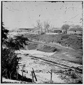
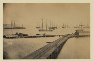
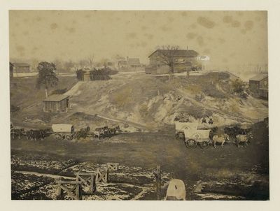
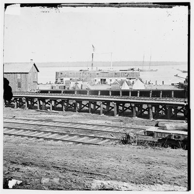
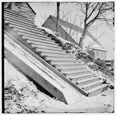
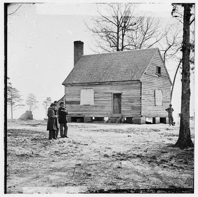
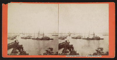
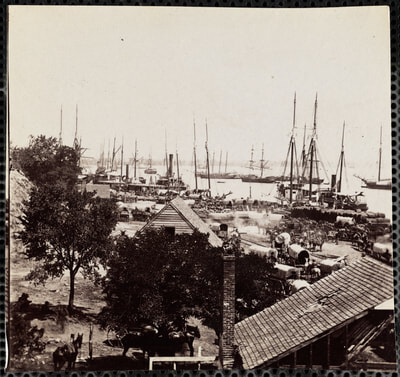
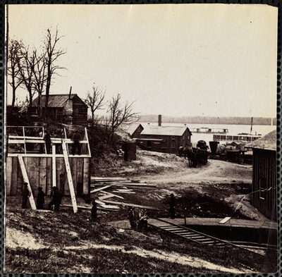
LC 01977. "City Point, Virginia,"unattributed stereograph.
Picture
The Medford Historical Society Civil War Photograph Collection
Picture
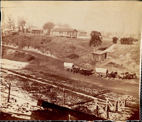
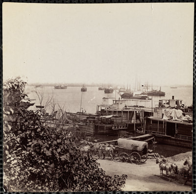
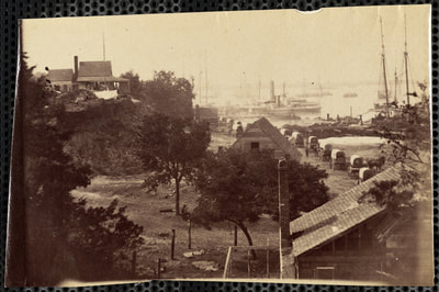
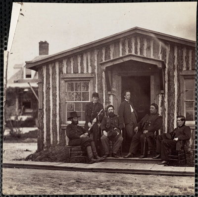
LC 08249. "View at City Point headquarters," print by Russell
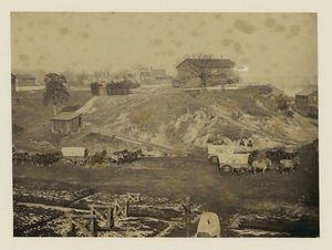
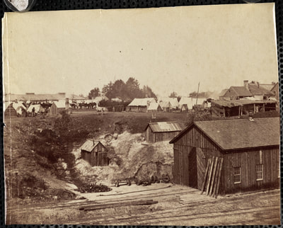
Picture
NARA on Flickr.
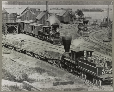
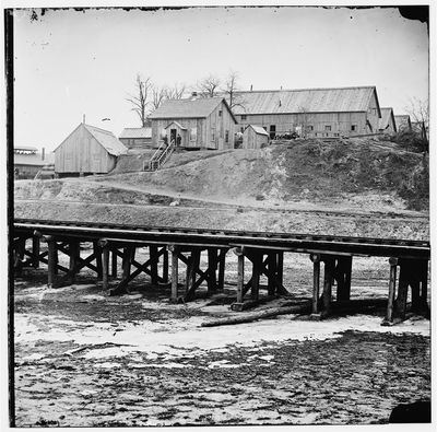
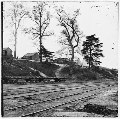
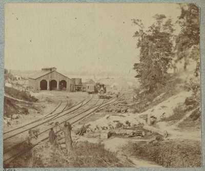
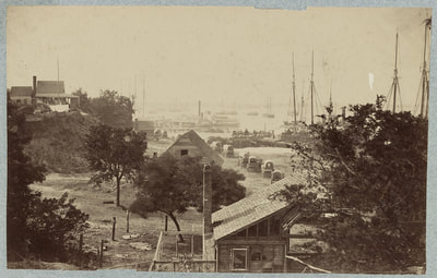
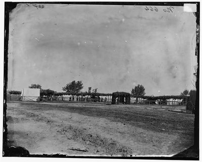
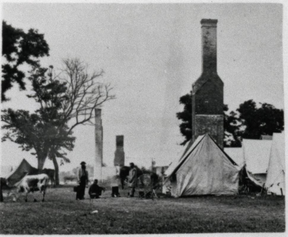
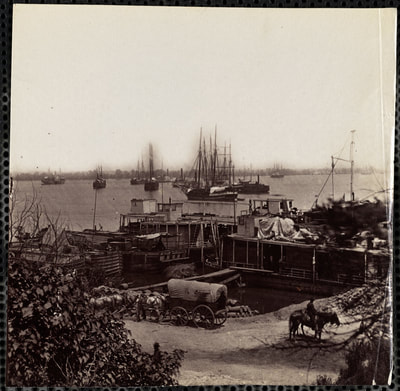
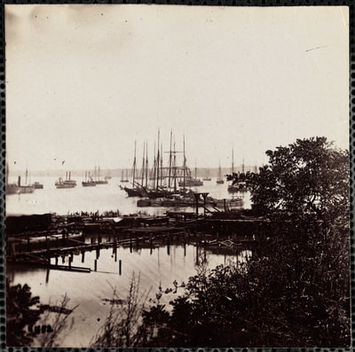
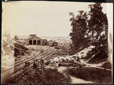
The above four images from various sources form a panorama of "City Point headquarters." The third image from the right is attributed to Capt. Andrew J. Russell. The snow cover, wagons, mules, and other details suggest that all four images were taken during the same session and may be safely attributed to Russell.
Picture
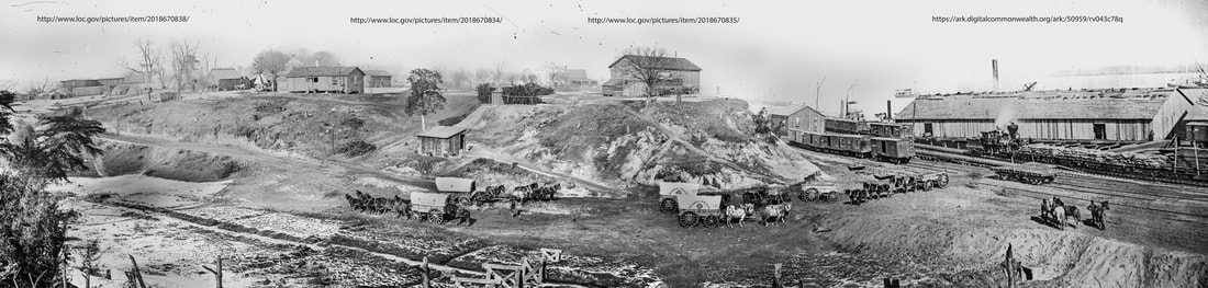
Here the four photographs are stitched together more-or-less seamlessly by Ted Linton. Zoom in below.
Picture
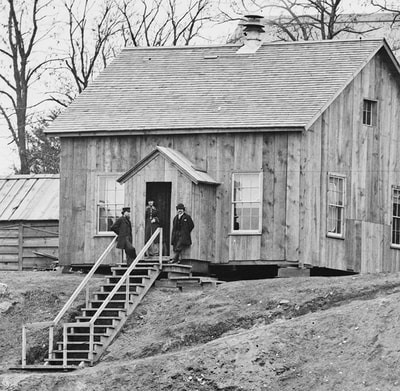
LC 01972 "City Point, Virginia. Gen. [Marsena R.] Patrick's headquarters and mail wharf." A fifth photograph taken at roughly the same time.
Picture
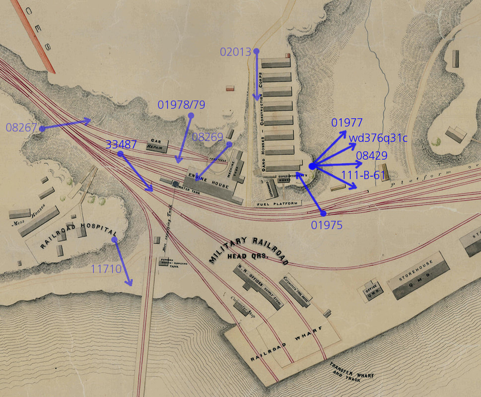
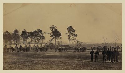
Initial effort to place some of the City Point photographs on the map. New images will be added as identified. Modifications will be made as needed.
Picture
Overlay of Historic Map on Modern GIS Data by the College of William & Mary Archaeology Department.
This is an overlay of the Civil War City Point Railroad map (detail above) on modern GIS data. The map was compiled by William & Mary Archeology Department as part of a study conducted for the National Park Service. The Eppes House Appomattox Manor is located at the top left of the point. The series of smaller cabins to the right were the Headquarters of the Armies led by General Grant. The long blue buildings on the far right along the waterfront were the Quartermaster warehouses. This is a fine example of how historic maps can be used to guide archeological research today. 

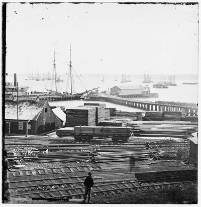
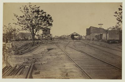
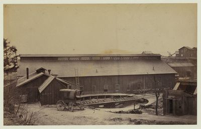
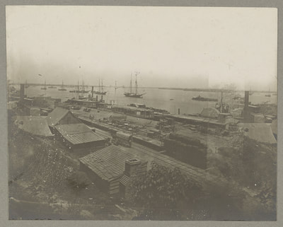
Photographs of City Point from the Library of Congress

Picture
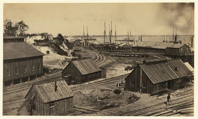
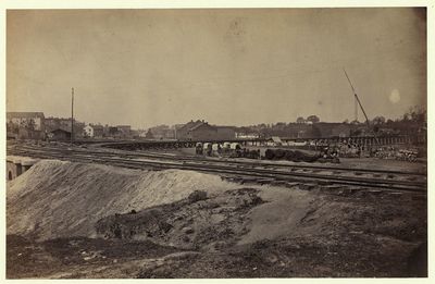
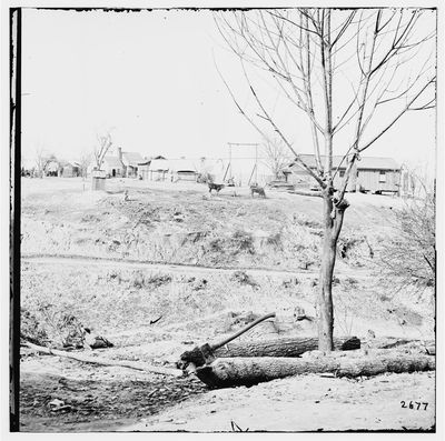
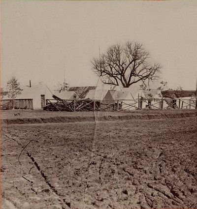
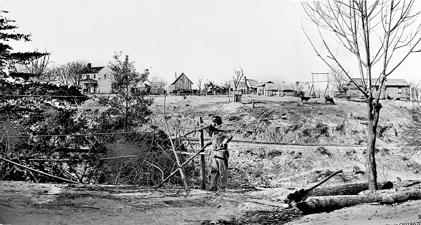
Composite image, formed from NARA 111-B-769 and LC 02162, stitched together by Ted Linton. Camera angle was shifted somewhat, but images were taken at the same time as indicated by a fallen tree, attached clothes lines, and other ephemeral details.
Picture
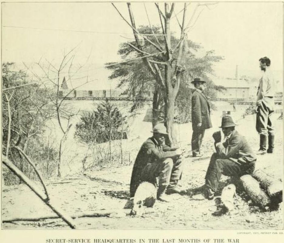
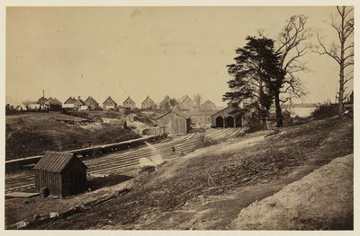
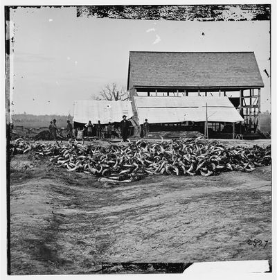
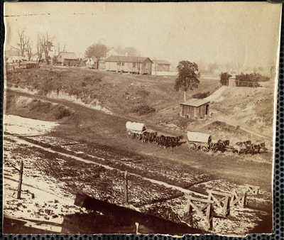
Photograph taken from near the same location as the above photos, but looking more to the south toward the docks. Miller, Photographic History, Vol. 8: 287. Would the distinguished gentleman posed in the rear be Marsena Patrick, Provost-Marshall of the Armies?

Timothy H. O'Sullivan, Photographs of City Point (Attributed)

Photographs of City Point in the Alice Mason Collection, Boston Athenaeum


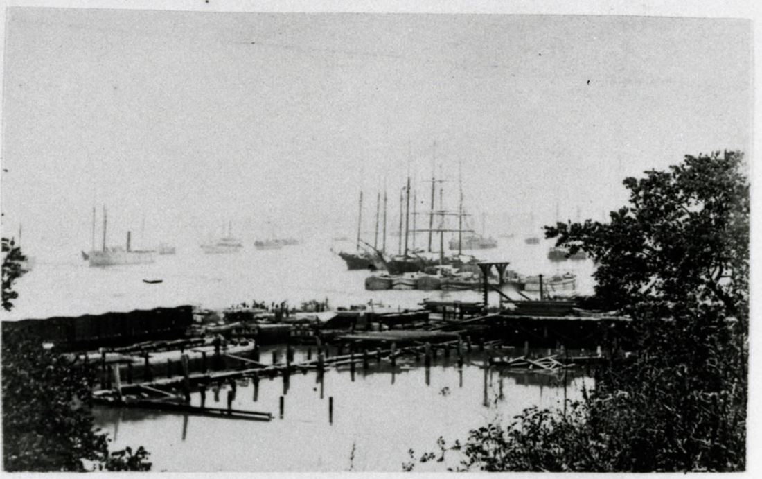
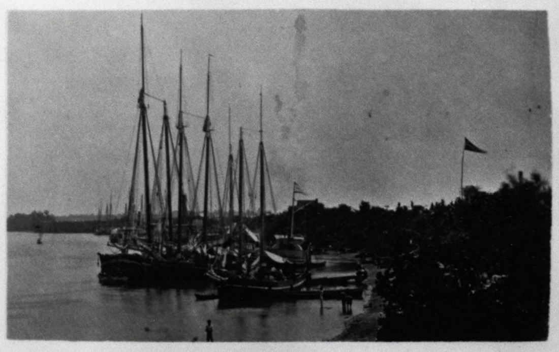
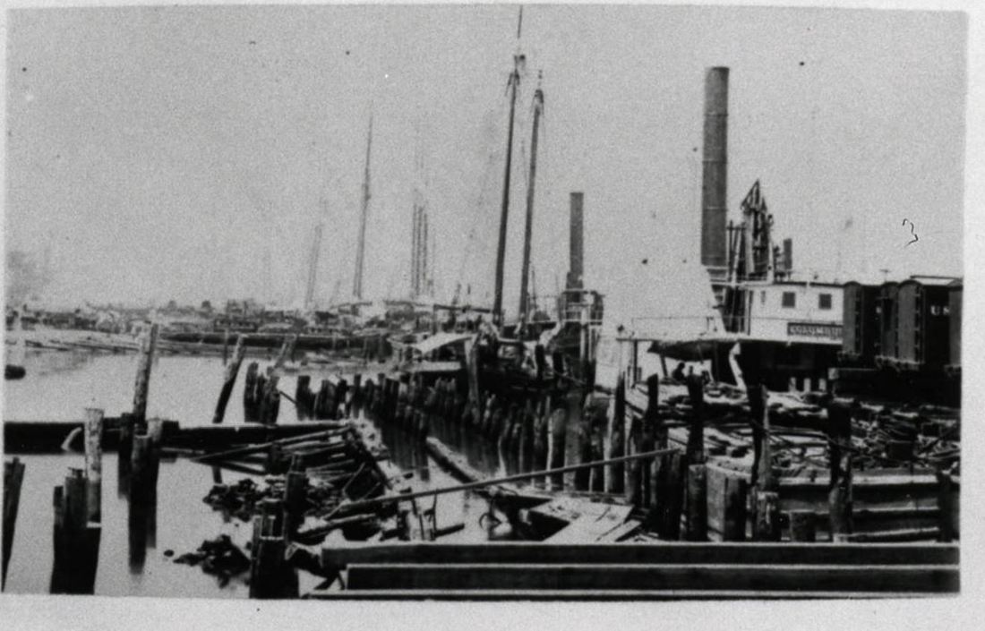
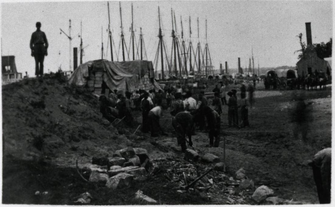
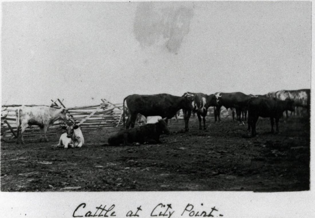
Photographs from the The Medford Historical Society Civil War Photograph Collection

Picture
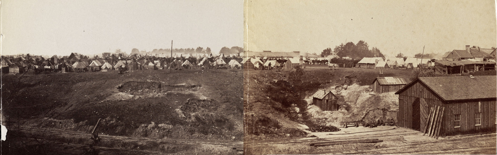
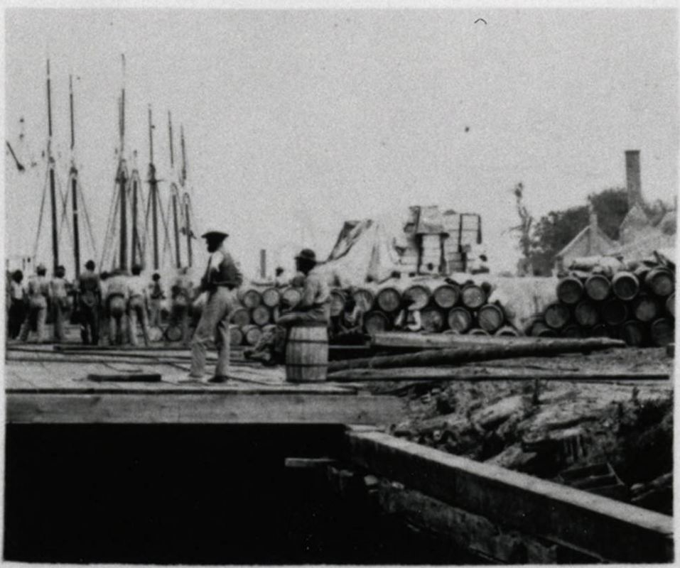
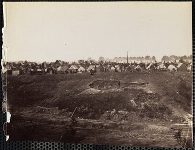
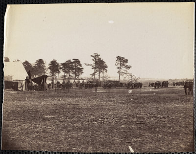
Composite panorama from photos MHS 1948_01_3205 and MHS 1948_01_3261, showing camps of laborers.
Picture
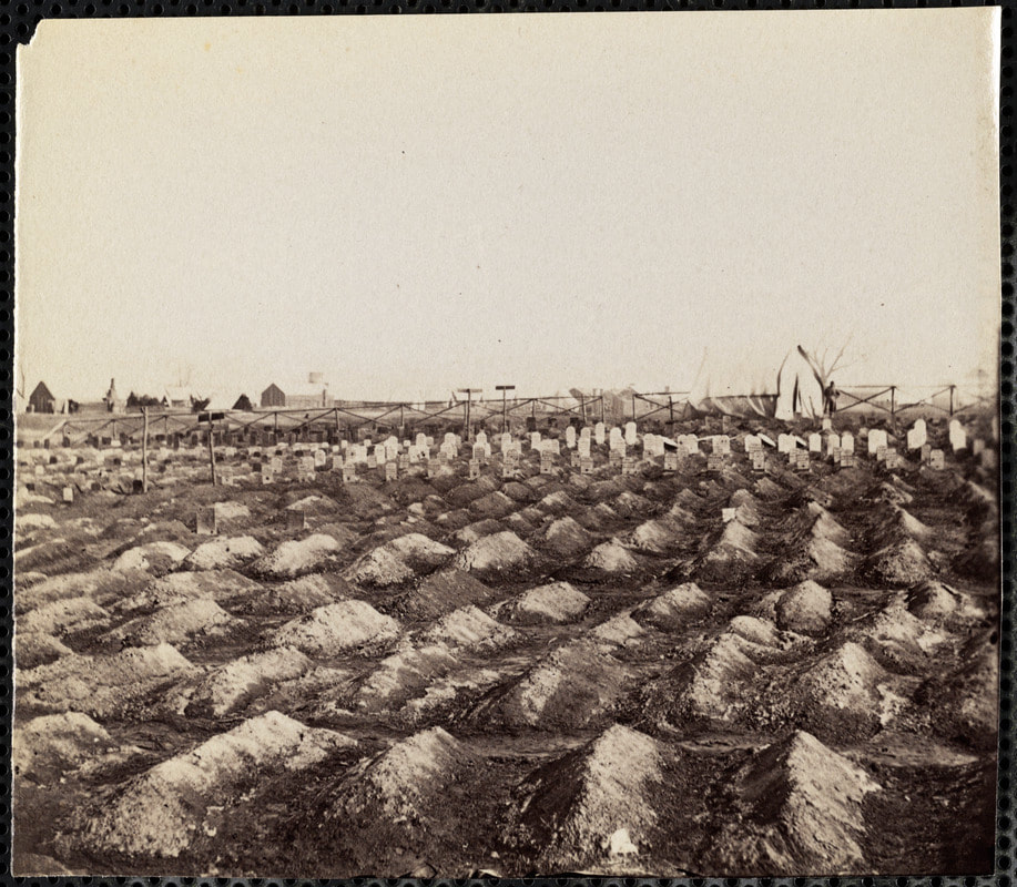
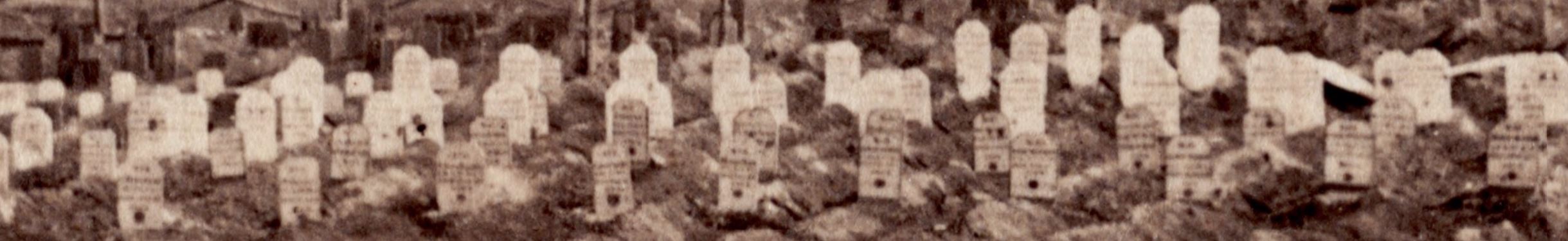
Medford Historical Society. "Soldier's Cemetery, City Point, Virginia."
Picture

Picture
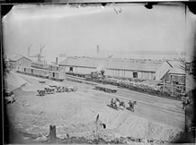
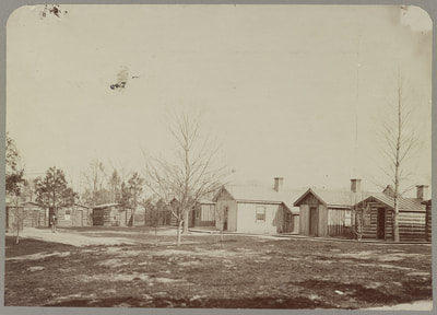
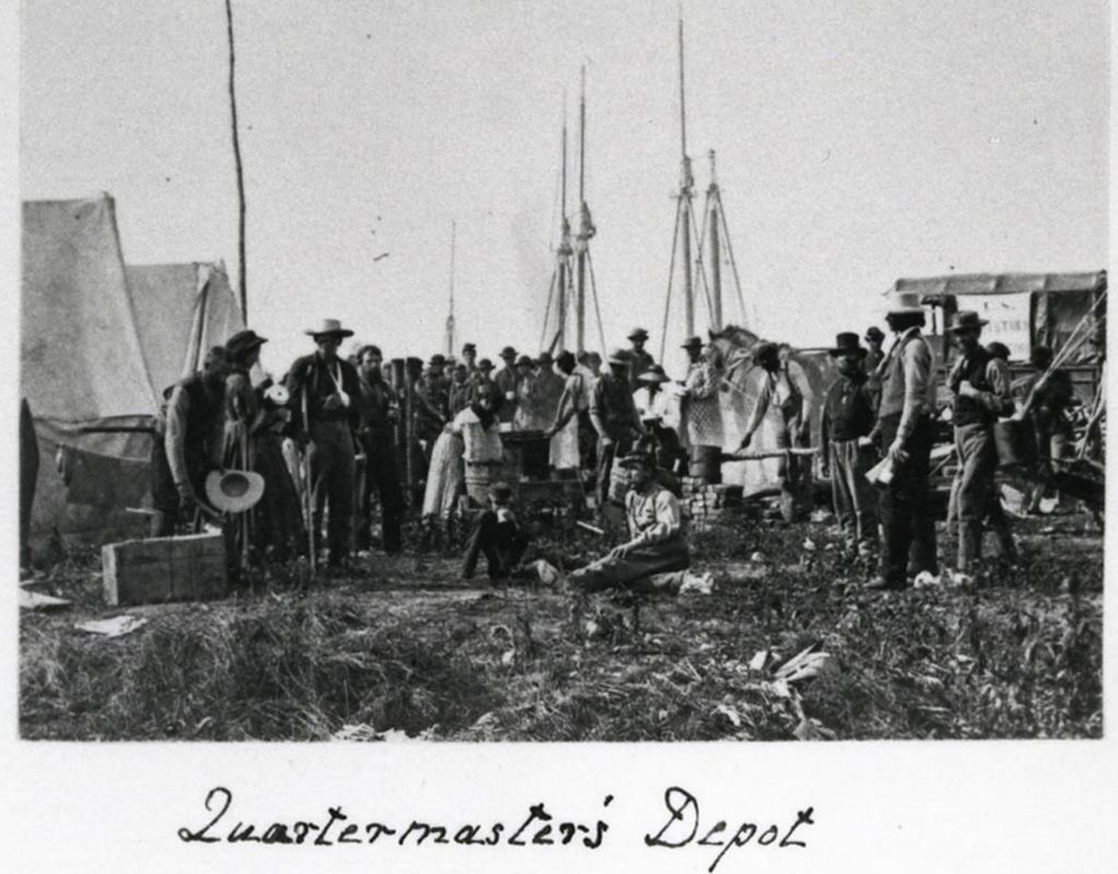
"Quartermasters Headquarters, City Point." NARA photo NWDNS-111-B-180.
updated 03/29/2018
Proudly powered by Weebly
Picture