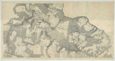
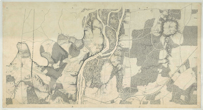
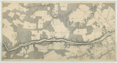
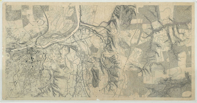
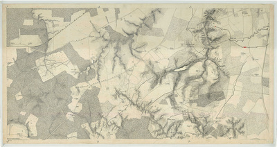
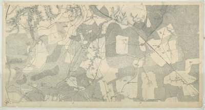
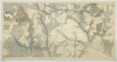
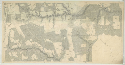
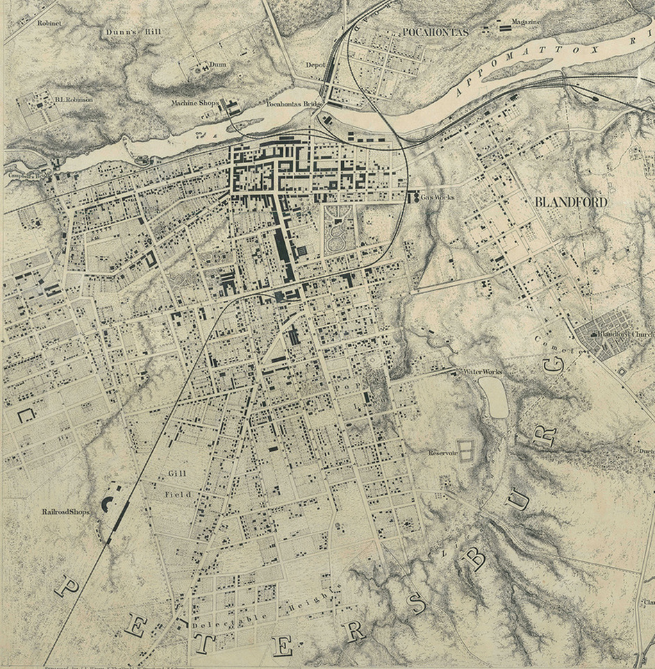
NOW ONLINE!! Map Series (8" = 1 mile) compiled under the direction Nathaniel Michler, 1865-1867
The maps have now been digitized and are available online from the National Archives!
The maps from the Michler-Weyss surveys are the finest historic maps that exist of Virginia’s battlefields. These were adapted to illustrate many postwar memoirs or unit and campaign histories. Historians use the maps today to visualize the cultural and physical features of battlefields and park planners to reconstruct historic landscapes based on the patterns of fields and woodlots.
Soon after the Siege of Petersburg began, on July 9, 1864, topographical engineers of the Army of the Potomac started work on a series of maps of the vicinity of Petersburg. The maps were updated continually as the siege unfolded. Federal siege works and opposing Confederate lines (that could be safely surveyed) were laid out on a scale of eight inches to the mile with theodolite and chains. Federal engineers triangulated from signal towers to fix the positions of known church spires and other landmarks within the town of Petersburg. This allowed them to merge the results with an existing prewar Coast Survey map of Petersburg and the Appomattox River to construct a detailed map of areas both within and (to a degree) outside of Federal lines.
Acting Chief Engineer, Army of the Potomac, Nathaniel Michler stated on September 24 that the "detailed map," extending from Appomattox River to the Weldon Railroad was ‘‘now completed, with the exception of the lettering.’’ The map, of course, continued to evolve to incorporate another set of maps initiated by the Army of the James. In its final stages and postwar manifestation, it filled twenty-eight sheets and covered more than 290 square miles. It depicted Federal entrenched lines both north and south of James River on a line thirty-six miles long. The siege works are shown in great detail, including the batteries, picket lines, military roads and railroads, headquarters locations, and signal stations. Features were drawn on a grid of one minute longitude and one minute latitude as noted in pencil in the map’s margins. Such a large-scale map was of inestimable value to Federal headquarters in conducting the siege and planning future operations. According to Michler, ‘‘constant reference was made to it.’’
At the end of the war, a broader survey was initiated to map the major battlefields of the eastern theater. Initially directed by army chief engineer, James Duane in 1865. Nathaniel Michler took over in 1866 when Duane resigned. These surveys relied heavily on the detailed wartime maps completed during the war, but endeavored to fill in the details that had been behind Confederate lines. Maj. John E. Weyss headed the fieldwork in Virginia, which concluded in December 1867. Maps from the Michler-Weyss survey were published in 1869 as the Atlas of Military Maps Illustrating the Operations of the Armies of the Potomac & James. All of these maps were later resized and redrawn for inclusion in the Atlas to Accompany the Official Records of the Union and Confederate Armies (published in folios 1891-1895), which is the standard reference work for Civil War military maps.
This information was summarized in ‘‘From the Rapid Ann to Coal Harbor’’: Post-War Topographical Survey of Civil War Battlefields, by David W. Lowe, 2002.
A Guide to Civil War Maps in the National Archives, 1986: Entry 2.246. Maps of the area in the vicinity of Petersburg and Richmond compiled under the direction of Bvt. Brig. Gen. N. Michler, 1865-1867. 1 inch to 1/8 mile. 28 maps, average 30" x 52". Manuscript. Two index maps prepared in the Office of the Chief of Engineers show the coverage of each map. Some of the maps are identified as being surveyed by Maj. J. E. Weyss and party and drawn by Weyss and others. Roads, railroads, defense works and entrenchments, wooded areas, cleared areas, fields, and names of residents are shown. Relief is indicated by hachures. The city blocks of Richmond and Petersburg are shown in detail. RG 77: G 204-33 through G 204-60. NOTE: The eight maps below cover the area south of the Appomattox River from the collection of Petersburg National Battlefield. The maps have now been digitized and are available online from the National Archives!
Map no. 1 G204-33 Hatcher's Run/Vaughan Road https://catalog.archives.gov/id/221160664
Map no. 2 G204-34 Jerusalem Plank Road South https://catalog.archives.gov/id/221160666
Map no. 3 G204-35 Boydton Plank Road/Fort Fisher https://catalog.archives.gov/id/221160668
Map no. 4 G204-36 Fort Sedgwick to Fort Wadsworth https://catalog.archives.gov/id/221160670
Map no. 5 G204-37 Appomattox River West/Matoax https://catalog.archives.gov/id/221160672
Map no. 6 G204-38 Petersburg https://catalog.archives.gov/id/221160674
Map no. 7 G204-39 Swift Creek West https://catalog.archives.gov/id/221160676
Map no. 8 G204-40 Appomattox River North/Fort Clifton https://catalog.archives.gov/id/221160678


