Federal Engineers Maps dated June 19 & 21,1864
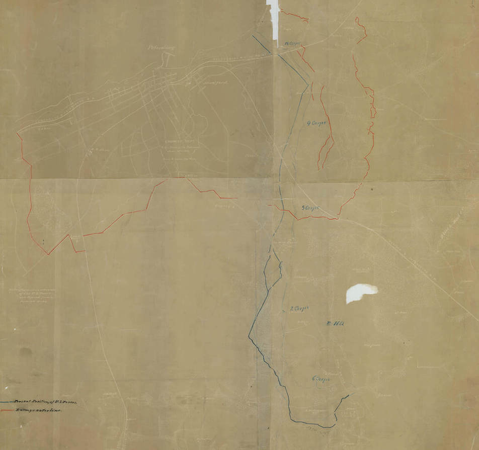
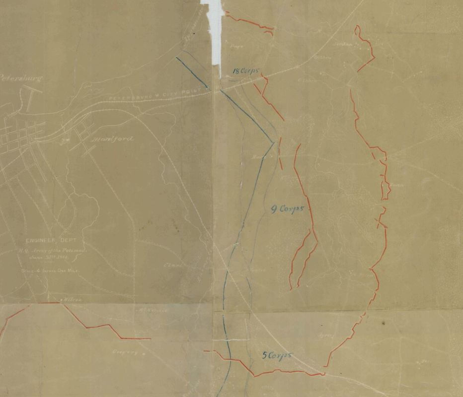
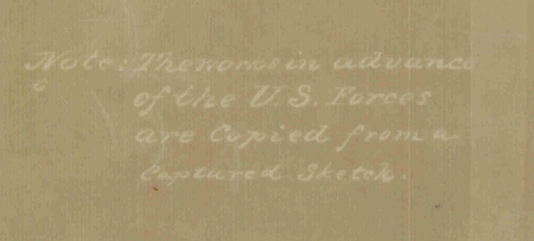
These two maps show the initial deployments of the Army of the Potomac with the XVIII Corps attached at the close of the opening battles (June16-18, 1864) and prior to the Jerusalem Plank Road offensive (June 21-23). Of particular interest on the sketched-in lines of Confederate earthworks--Dimmock Line and intermediary works--captured in previous fighting. Segments of these works disappear from later Federal maps. From north to south, the corps were deployed--18th, 2nd, 9th, 5th, with the 6th Corps drawn into a defensive hook. As the crow flies, the Federals along the Jerusalem Plank Road were only about two and a half miles from the Weldon Railroad. The map shows, however, that most of the intervening ground was unknown and unexplored. This lack of full reconnaissance did not bode well for the coming offensive. The second version notes that Confederate lines "in advance of U.S. forces" were drawn in from a captured sketch map.

This early siege map shows relative positions of the Federal Army Corps on June 21, 1864, photoprocessed with annotations. Scale- 4 in. = 1 mile. Note the sketchy nature of the basemap, but there is already considerable improvement in filling in the blank spaces since the June 18th maps. NARA RG77/G160-26 (see Stevenson, Guide to CW Maps in the National Archives, pg. 48).


