Petersburg Mill Photographs -- Timothy O'Sullivan with William Pywell
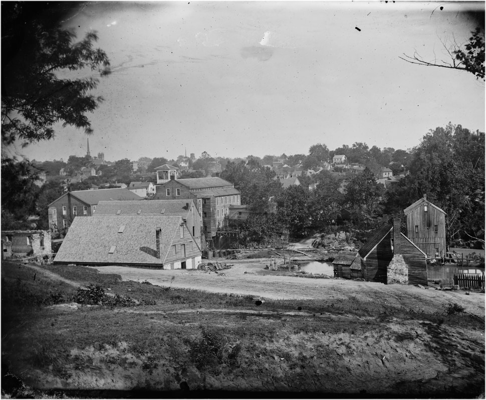
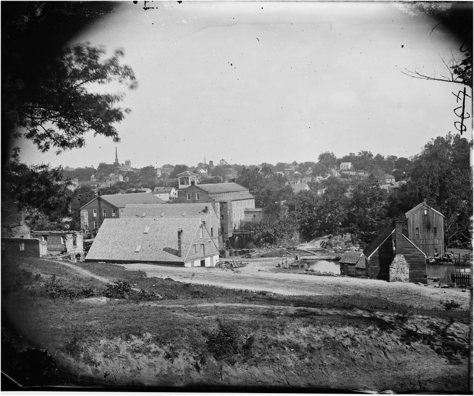
Photographer Timothy O'Sullivan and his future brother-in-law and fellow photographer William Pywell spent several days in April 1865 photographing Petersburg and the mills along the Appomattox River. The mills were the lifeblood of Petersburg's economy, and most escaped without damage after the surrender of the city on April 3, 1865. After the war, floods, fires, and economic depressions took their toll of these architectural features, leaving little evidence of their existence today. Maps show us where the buildings stood and we hope to identify the many distinct boulders along the river banks and match up some of the historic images with the modern river. For the moment, we await the coming of winter and defoliation of riverbank vegetation. Some of these O'Sullivan photos are exquisitely framed and display the artistic skills of O'Sullivan-Pywell collaboration.
|
Above is a splice of two Michler map sections of Petersburg along the Appomattox River (NARA RG77 / G204-37 & 38). The river narrows to a raging gorge in the area of Campbell's bridge. The water power was intense and a number of major industrial mills, spinning cotton, grinding corn, and sawing wood, were constructed here. The water funneled through races from one mill to the next to capture the energy efficiently. The Merchant Manufacturing Company Cotton Mill, located at Campbell's Bridge, employed up to 150 people and wove uniform cloth for the Confederate army. Johnson's Mill was half a mile downstream from the bridge on the south bank at the main dam. The locality above Merchants on the north bank was called Ettrick, a village for some 800 mill workers. Ettrick's Cotton Mill, on the left bank upriver from from bridge, employed hundreds of women during the Civil War. Ettrick's also spun clothe for the Confederacy.
|
Campbell's Bridge Photographs
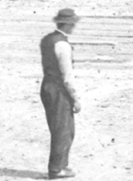
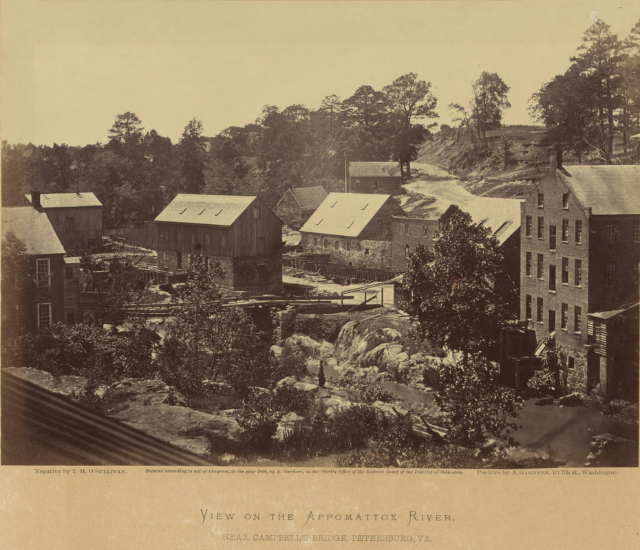 LC 12603. "View on the Appomattox River Near Campbell's Bridge." Large format plate exposed by Timothy O'Sullivan, published in Gardner's Sketch Book, vol. 2, plate 82. Two men sitting on the bridge, William Pywell posed in the middle foreground. O'Sullivan and Pywell made at least four other images from the same elevated camera position..
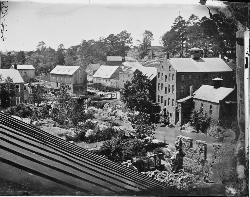
These five images were taken from the upper floors of what is labeled the "Hope Flour Mill" on the later Sunburn Insurance maps, about 100 Yards downstream from Campbell's Bridge.
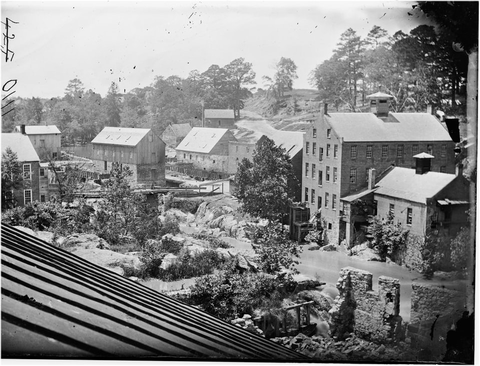
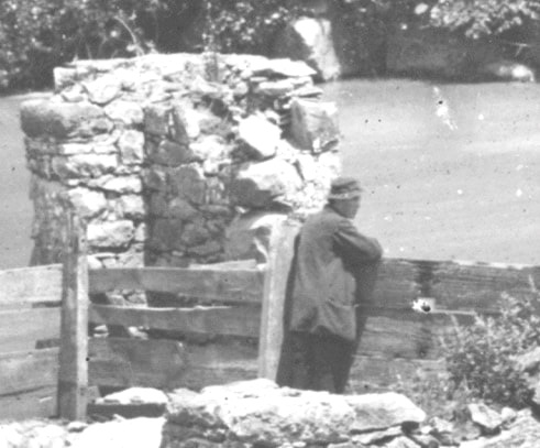
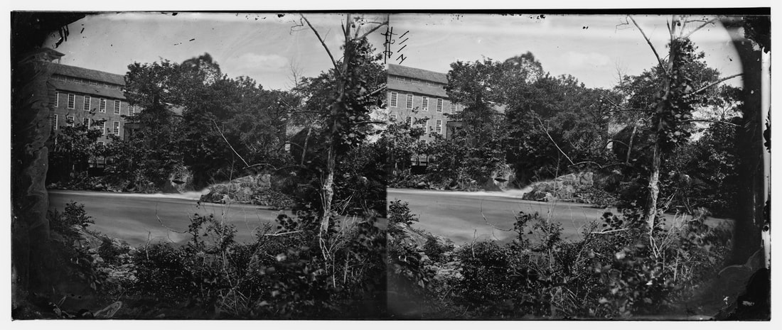
LC 00617. "Petersburg, Virginia, Mills." Right half of stereo view by Timothy O'Sullivan and William Pywell. View from upper story looking upstream on the Appomattox toward The Gorge and Campbell's Bridge. This appears to be a series of stereo views by scratched out plate numbers 425, 426, and 427, followed by a larger format plate. The road climbing the bluff in the distance leads to the mill village of Ettrick, home to more than 800 mill workers. A single man, probably a soldier, sits on the bridge. The ruined stone wall at bottom right shows up in several other views, including one from the opposite bank of the river.
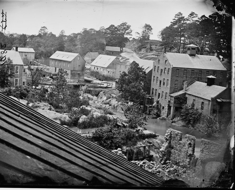
LC 00537. "Petersburg, Virginia, Mills." Right half of stereograph by Timothy O'Sullivan, one of a series. Overview of Campbell's Bridge and The Gorge from a building on the south bank. Two men "ghosting" on the bridge. The road up the bluff leads to the mill village of Ettrick. Ruined stone wall in the right foreground.
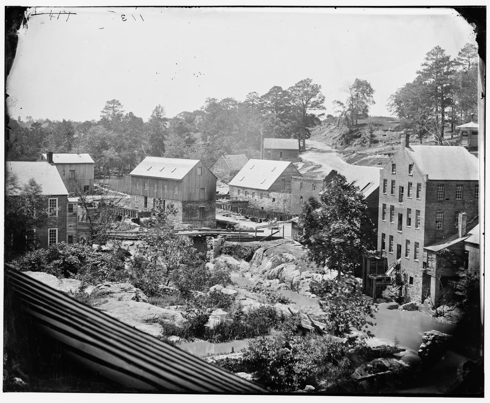
LC 03714. "
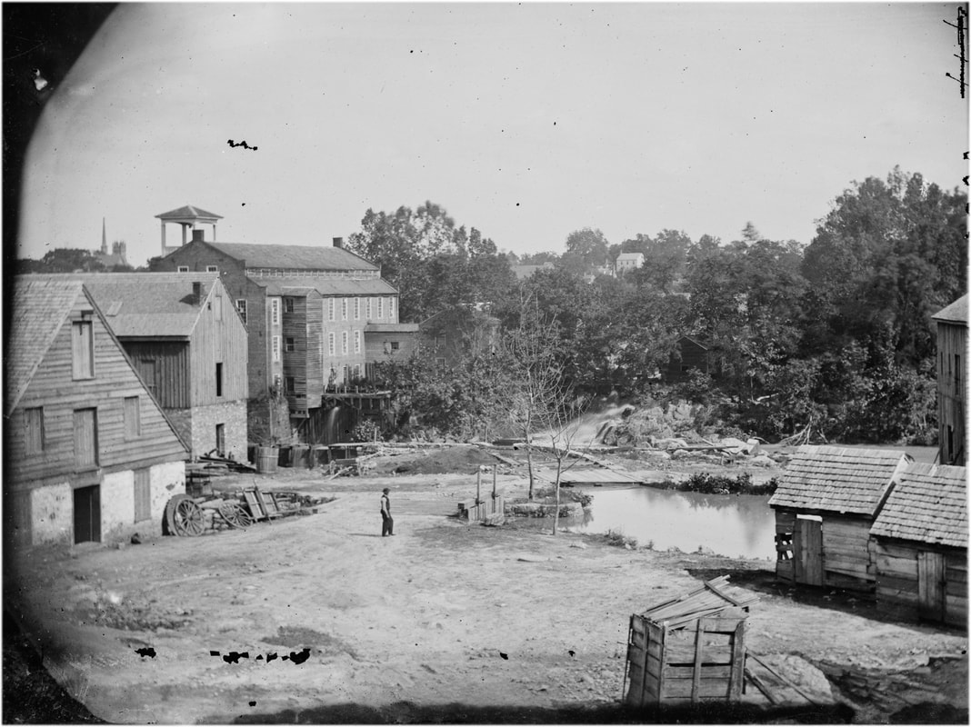
[Petersburg, Va. Mills on the Appomattox River near Campbell's Bridge]." Larger format plate by O'Sullivan from same location as the previous views. Two seated men and horse cart at the bridge. This is an exceptionally clear image that was included in Gardner's Photographic Sketch Book, vol. 2, plate 82, where the mill on the far right is identified as The Merchant Manufacturing Company Cotton Mill.
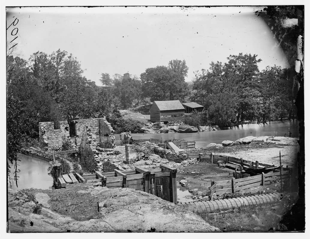
LC 01301. "Richmond, Virginia (vicinity). Mill on James River and Kanawah Canal above Richmond, attributed to John Reekie." We think his is misidentified. This stereo view appears to belong in the O'Sullivan-Pywell series as detailed above. It was likely taken from near the "Hope Flour Mill. The key is the ruined stone wall that appears in the other photos from different angles. The scratched out negative number is 424. First identified here by the Petersburg Project.
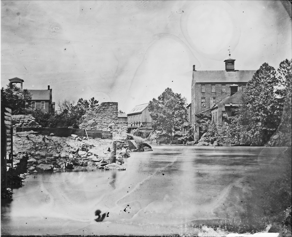
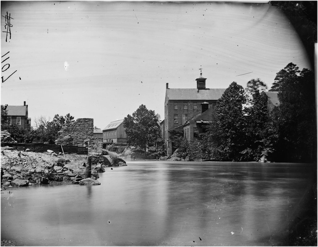
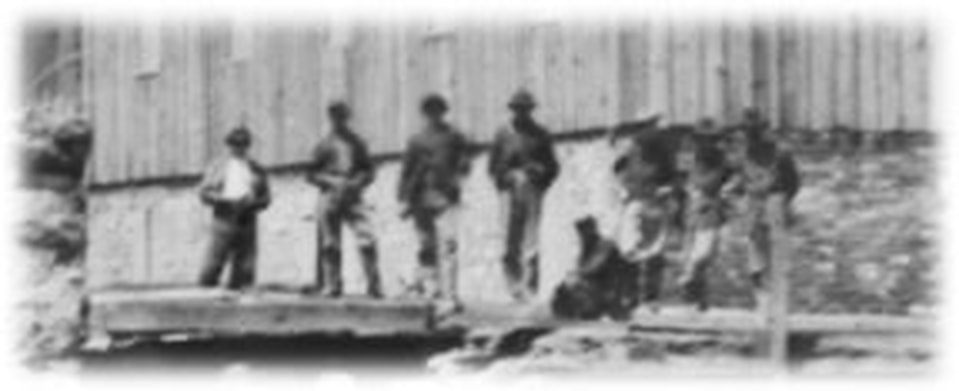
LC00616. "Petersburg, Virginia. View of mills," right half of stereograph by O'Sullivan and Pywell. Looking upstream toward the Gorge and Campbell's Bridge. The photographers have attracted viewers from the previous photo, soldiers in the distance posed in front of a mill building. Distinctive large bell tower from mill at the bridge on the left. Ruined stone wall is at left center.
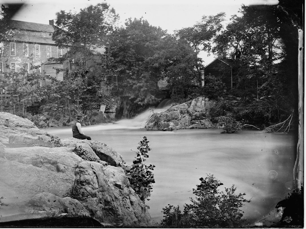
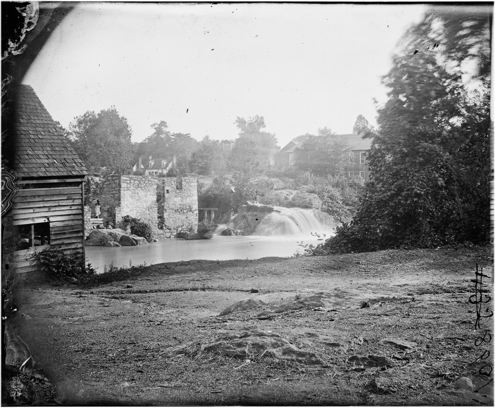
LC00536. "Petersburg, Virginia, Mills." Right half of stereo view by Timothy O'Sullivan, fellow photographer William Pywell is seated atop a boulder overlooking the Appomattox River. This scene is near Campbell's Bridge. A large mill tail race gushes on the far bank. This is a beautifully composed photograph; one can hear the roaring of the water. Pywell is apparently seated on the protruding boulder seen in the previous photos on the south bank.
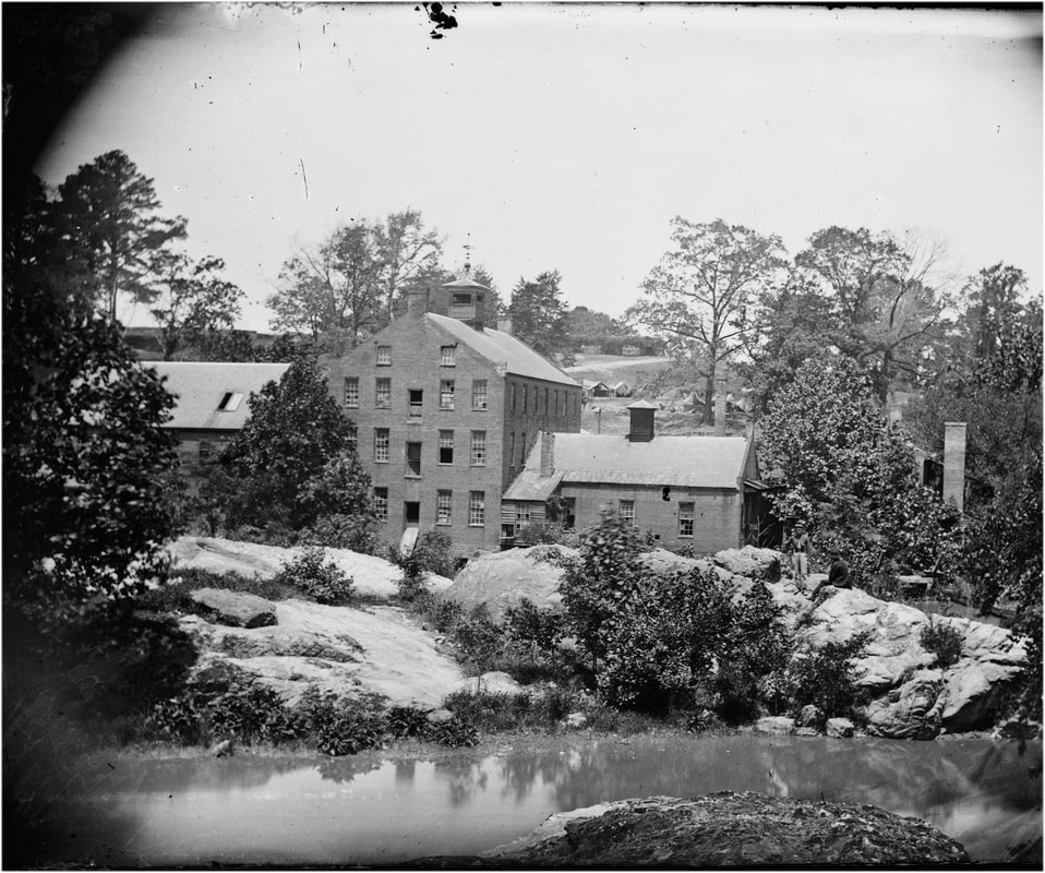
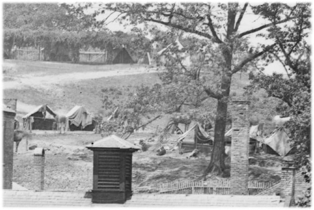
LC00619. Left half of stereo view by Timothy O'Sullivan, titled "Petersburg, Virginia. View of mills." View is from south bank. These are the mill buildings directly to the right of Campbell's Bridge. Note the distinctive wind vane atop the cupola of the larger building. In the distance on the hillside is a military camp.
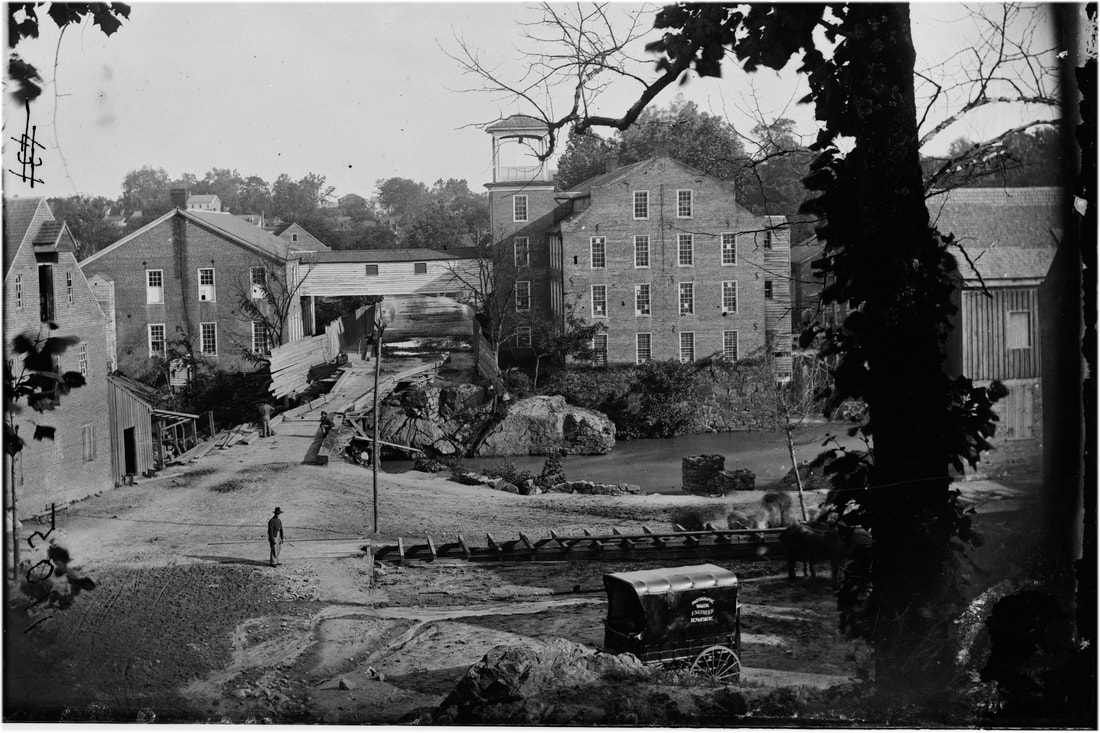
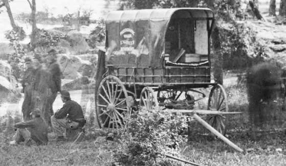
LC00613. "[Petersburg, Va. Mills; photographic wagon of Engineer Dept. in foreground]," right half of stereo view by O'Sullivan and Pywell. View from the north bank approaching Campbell's Bridge and the Gorge. The two main Merchant's Mill buildings on the south bank are connected by a "sky" bridge. The right building features a large bell tower which shows up in other photos. A soldier poses in the mid-ground, while others lounge on the bridge, possibly the same men from the previous series of photos. The photographers' wagon is parked in the foreground, labelled "Photographic Wagon Engineer Department."
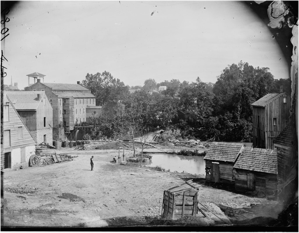
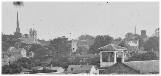
LC00541. "Petersburg, Virginia, Mills," right half of stereo view by O'Sullivan and Pywell. Pywell poses in the mid-ground on the road that leads from Campbell's Bridge back up to Ettrick. The view is from the north side of the Appomattox looking back toward the Gorge and mill buildings. The steeples of the Grace Episcopal and Washington Street Baptist Church steeples can be glimpsed in the distance at the far left of the photo.
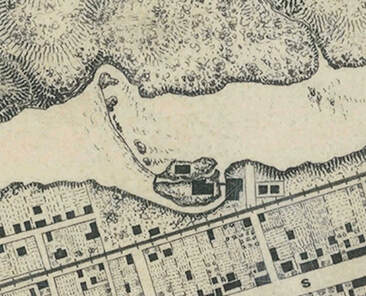
Sanborn Fire Insurance Maps of Petersburg, 1885. Area of Campbell's Bridge
Johnson's Mill Photographs
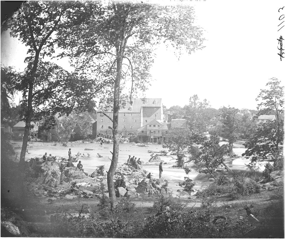
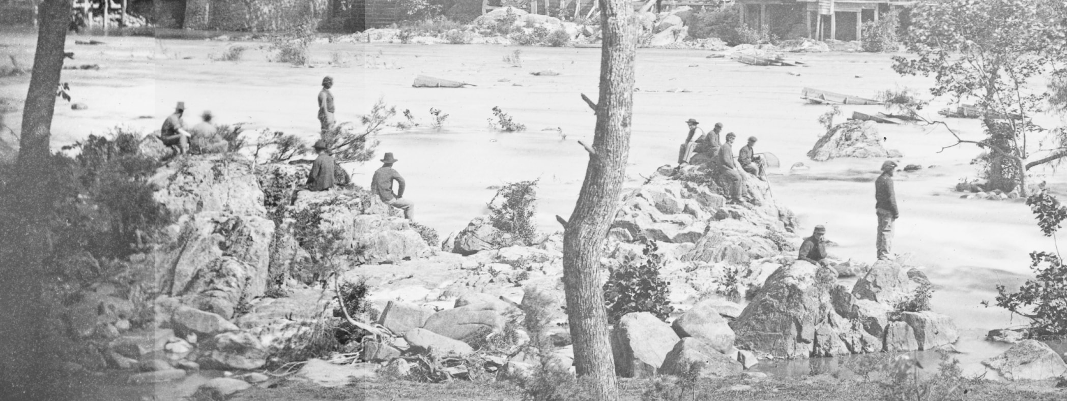
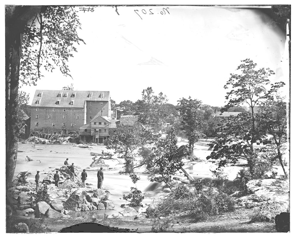
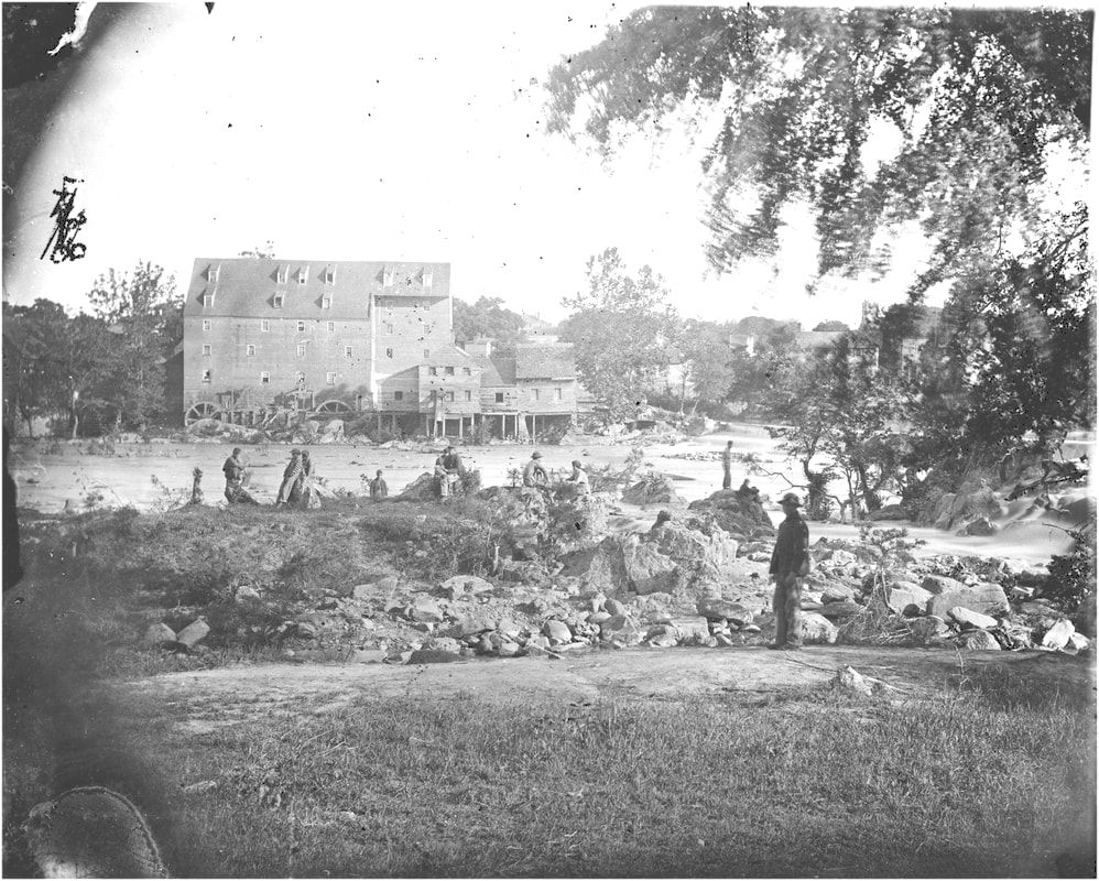
LC12601. "Johnson's Mill" (on left) was a quarter mile downstream from Campbells's Bridge on the main dam that was known by various names. This large format plate (above), negative by O'Sullivan, positive by Gardner, was featured in Gardner's Photographic Sketch Book of the Civil War, vol. 2, plate 80, taken in early May 1865. Taken from the north bank looking south, the town of Petersburg can be glimpsed behind the mill. To the right is the mill dam. Numerous soldiers are posed, some precariously, on the rocks along the river. This image is featured in Davis, Image of War, vol. 4, pg. 778, as an example of O'Sullivan's artistic composition.
LC00610. "Petersburg, Virginia. View of mills." Left half of stereo view by O'Sullivan. This is a view of Johnson's Mill complex from the north bank of the Appomattox with soldiers lounging on the rocks in the mid-ground.
Steeple of Grace Episcopal Church is visible in the right distance. Photographers' assistant or groom posed in right foreground.
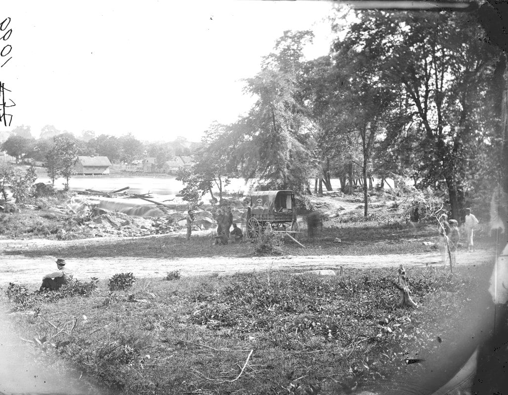
LC 00608 "[Petersburg, Virginia (vicinity)]. View of James river and photographic wagon of Engineer Corps}, right half of stereo image.]" O'Sullivan's photographic wagon is parked in the mid-ground. W. R. Pywell is seated on the ground at left. Photo was taken at the dam slightly upstream from the previous photoa.
Last updated 10/09/2023


