
Undated Federal Engineers Map -- Late June-Early July, 1864
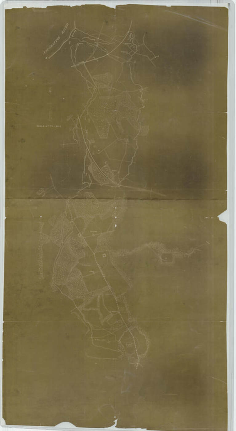
This siege map (4" = 1 mi.) shows development of the trench system as of early July. The captured sections of the Dimmock Line are shown in some detail. Reconnaissance has continued down the Jerusalem Plank Road. NARA RG77 (see Stevenson, Guide to CW Maps in the National Archives, pg. 48).
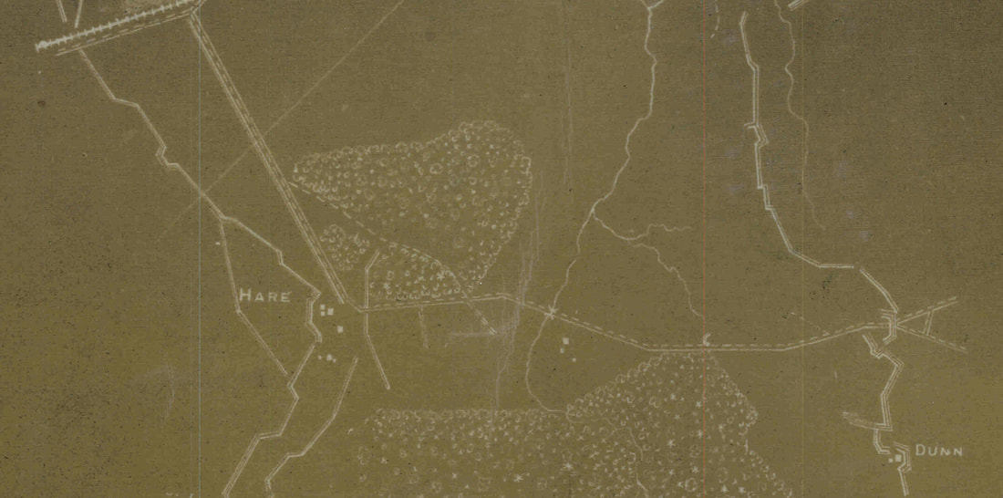
Detail of the above map showing area from Hare House Hill to the Dunn House.
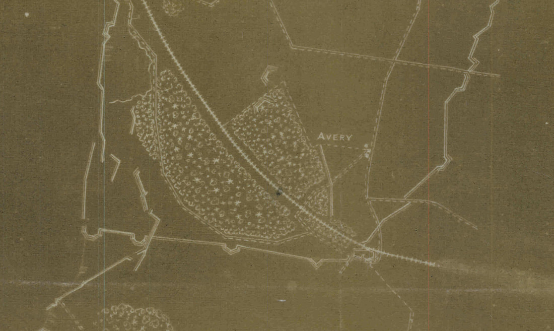
Detail showing the left flank of the army at the Avery farm. The Union line initially tied back into the Dimmock Line, thereby protecting the rear.
|
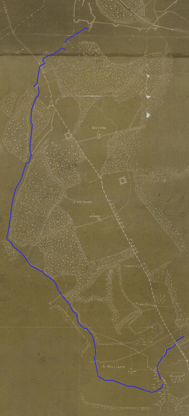
Detail showing the extension of the Federal left flank south and parallel with the Jerusalem Plank Road to the R. Williams House. The line was constructed after the fighting of June 21-22.
|
