The Earliest Federal Engineers Maps of Petersburg -- June 18th, 1864

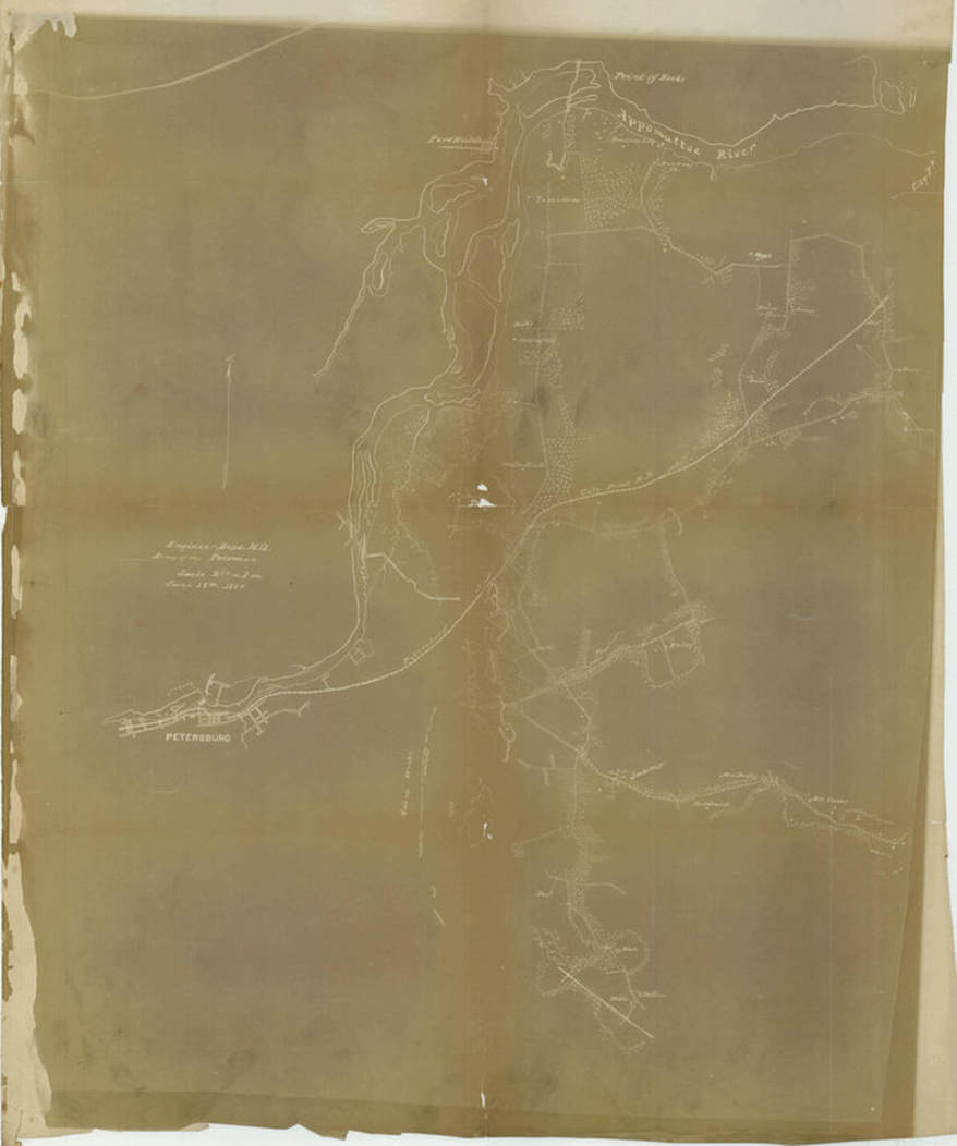
Dated June 18, 1864, this map (2" = 1 mi.) may be the earliest iteration from the Engineers Department, Army of the Potomac, compiled from quick field surveys. It shows how little Army headquarters understood the approaches to Petersburg during the crucial early assaults. NARA RG77 G443 (see Stevenson, Guide to CW Maps in the National Archives, pg. 48).

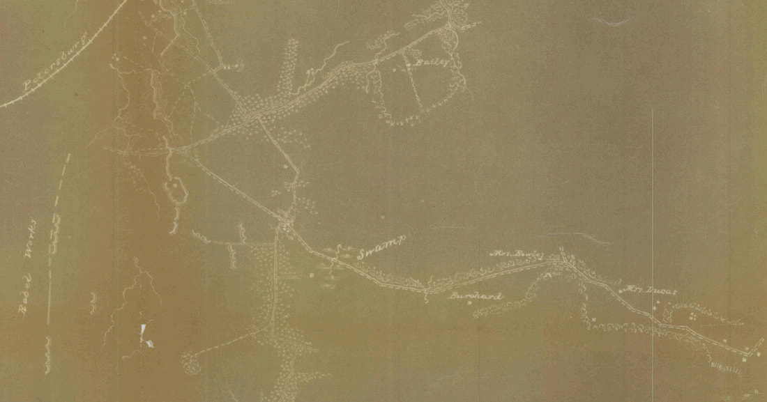
Detail of the above map showing approaches from City Point along the Coggins (or Jordan's) Point and Prince George Court House roads, converging at Confederate Battery 9. A small portion of the captured Dimmock Line has been sketched in, some of the line reversed. Positions for several Union batteries are shown. The "Rebel" intermediary line west of Harrison's Creek is sketched in.

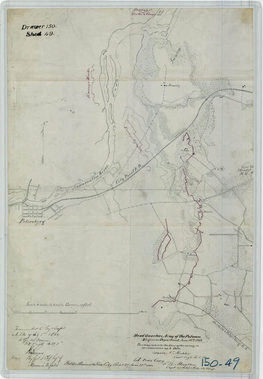
Headquarters Army of the Potomac, Engineers Department, dated June 18, 1864. This map (2" = 1 mi.) is a later copy of an earlier map that shows the captured Dimmock Line in greater detail. Gen. Meade's H.Q. is shown on the Jordan Point Road. NARA RG77 150-49 (see Stevenson, Guide to CW Maps in the National Archives, pg. 48).

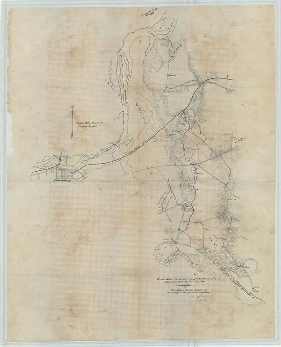
Headquarters Army of the Potomac, Engineers Department, dated June 18, 1864. This map (2" = 1 mi.) show greater detail along the Petersburg & Norfolk Railroad to the southeast. Mead's [sic] HZ is shown on the Jordan Point Road. Resident Col. John Avery is identified in pencil. NARA RG77 (see Stevenson, Guide to CW Maps in the National Archives, pg. 48).

