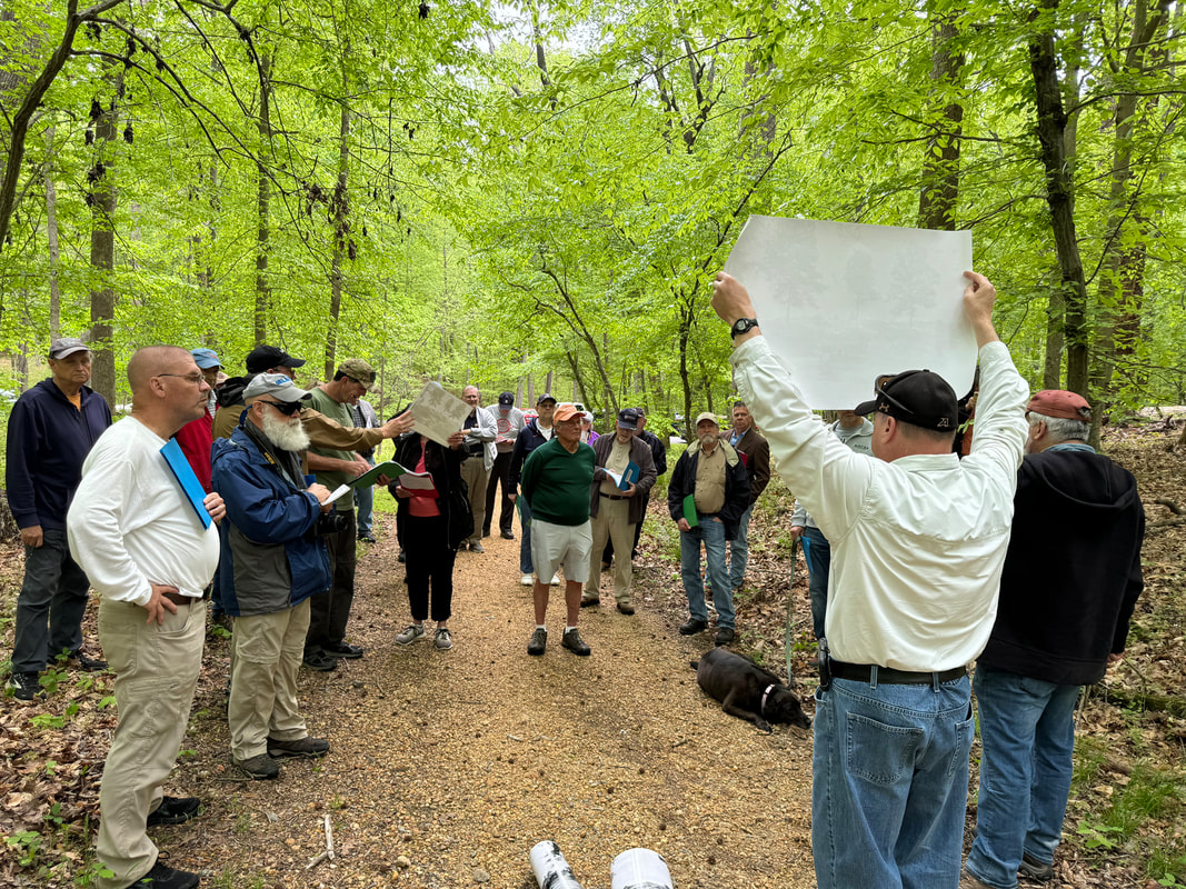
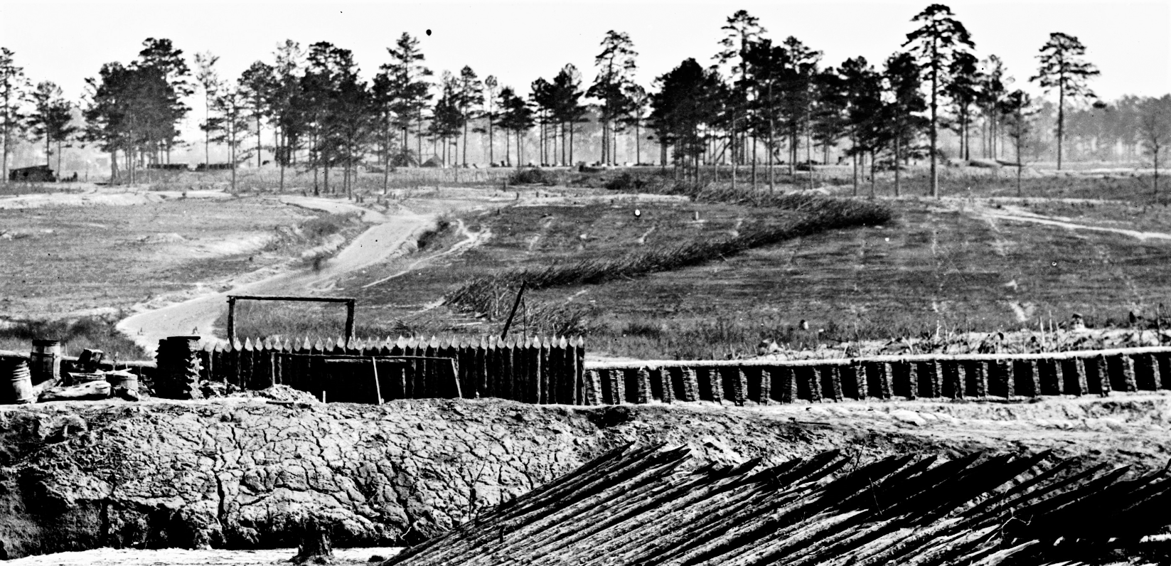
Stimulated by a photo posted by the Garry Adelman's Civil War Page. The Petersburg Project delved into the location of a mystery house and found the house! The William Jones house on Jerusalem Plank Road is on the market for a cool $half million. Please see the updated Jones House page under Battlefield Features. Here is a link to Garry's post -- https://www.facebook.com/permalink.php?story_fbid=3364854650235223&id=178968718823848
1 Comment
Craig Heberton, of the Center for Civil War Photography, tells us that the person seen in many of the Petersburg photographs attributed to Timothy O'Sullivan was his brother-in-law and fellow photographer, William Pywell https://en.wikipedia.org/wiki/William_Pywell. Keep it in the family! Craig will publish more on this.
O'Sullivan and Vest Man Lucky is a relative concept, but this dog apparently made it out alive. Its story will be added to the Kittens, Puppies and Ponies page:
Fort Davis isn't really elusive- it's big and it still exists- but until now there was only one photograph of it identified. It is beautifully captured in the background of LC 02607 and LC 02608. If interested, download the tif version from the LC website for a more high definition view, which is clear enough to show ladders at the base of a signal tree. The rectangular patterns in the grass- tent sites? Fort Davis & Battery XXII Fort Sedgwick, better known as Fort Hell Speaking of finding places on Petersberg Project...in regard to story "The rebel in the Road"....could these pictures have been taken nearby? https://www.loc.gov/item/2011649987/ https://www.loc.gov/item/2012647828/ Three photos were taken of this unfortunate soldier struck with a piece of shrapnel between the eyes. Not near the Jerusalem Plank Road picket line photos. Current thinking puts these three photos nearer to Confederate Battery 25..
We appreciate this post on the blog of Ryan Moore at the Library of Congress Map Division- https://blogs.loc.gov/maps/2019/06/map-helps-uncover-civil-war-battlefield-tunnels-at-petersburg-virginia/. The map that was key to our discovery of the location Confederate tunnels is beautifully described by Moore and is a stunning example of the cartographer's art and science.
A handy app makes it possible to offer a zoom function for historic maps and photos. We will eventually incorporate this function for earlier pages. See June 18, Federal Maps. Let us know what you think.
This is an accurate and entertaining depiction of how forces entrenched in the last year of the war. These skills learned by the soldiers in combat changed the face of the Civil War battlefield. Ear buds are suggested.
Progressive Entrenching A very entertaining account has been added to the "Sinks" page... don't miss it. Much goes on between the lines.
On a more heartwarming note- check out additions to Kittens, Puppies and Ponies. |
The Petersburg Project"It was, after all, a Civil War." Archives
November 2020
Categories |